


Views
Downloads
Geographic Features Worksheet | Grade 3 Essential
Paste this activity's link or code into your existing LMS (Google Classroom, Canvas, Teams, Schoology, Moodle, etc.).
Students can open and work on the activity right away, with no student login required.
You'll still be able to track student progress and results from your teacher account.
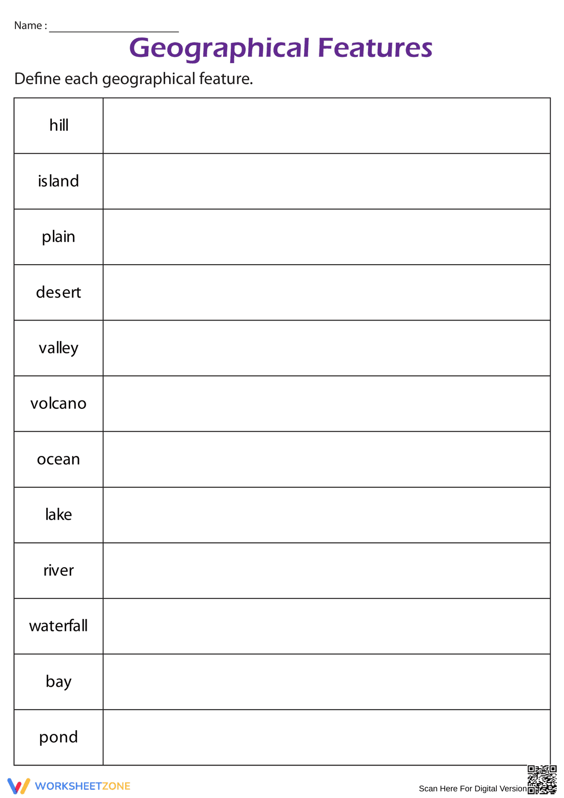
This Grade 3 geographic features worksheet helps students master essential landform vocabulary through active definition practice. By identifying and describing 12 distinct physical features, learners build a concrete understanding of Earth's diverse topography. This resource ensures students can distinguish between similar features like ponds and lakes or hills and mountains with precision.
At a Glance
- Grade: 3 · Subject: Science
- Standard:
2-ESS2-2— Map the shapes and kinds of land and bodies of water- Skill Focus: Landform Vocabulary
- Format: 2 pages · 12 problems · Answer key included · PDF
- Best For: Independent practice or science centers
- Time: 15–20 minutes
The download includes a structured two-page PDF. The first page features a clean, two-column table where students write definitions for 12 key terms, including volcano, plain, and waterfall. The second page provides a comprehensive answer key with clear, age-appropriate definitions that teachers can use for quick grading or student self-correction during independent study.
This resource is designed for a zero-prep workflow. First, print the single-sided worksheet in under 30 seconds. Next, distribute to students for independent work or a textbook-based definition hunt for approximately 15 minutes. Finally, use the included answer key to review definitions as a whole group for 5 minutes. Total teacher preparation time is under 2 minutes, making it an ideal sub plan.
Aligned to 2-ESS2-2, students develop a foundational model of the shapes and kinds of land and bodies of water in an area. It also supports literacy by focusing on domain-specific academic vocabulary. Both standard codes can be copied directly into lesson plans, IEP goals, or district curriculum mapping tools to ensure compliance with state frameworks.
Use this as a formative assessment after an introductory lesson on Earth's surface. It works well as a check for understanding exit ticket. Teachers should observe if students can differentiate between moving water and standing water during the task. Expect a completion time range of 15 to 20 minutes depending on the available reference materials.
This is ideal for third-grade students beginning an Earth Science unit. It provides excellent support for English Language Learners by focusing on core nouns and physical descriptions. Pair this with a visual landform anchor chart or a physical map to provide necessary context for the written definitions and help students visualize the concepts.
According to the RAND AIRS 2024 report, explicit vocabulary instruction in science significantly improves reading comprehension for informational texts. This worksheet addresses the need for domain-specific literacy by requiring students to articulate the defining characteristics of 12 geographical features. By moving beyond simple recognition to active definition, students internalize the 2-ESS2-2 standard, which focuses on identifying the variety of land and water forms on Earth. Research from Fisher & Frey (2014) suggests that structured graphic organizers, like the table provided here, help students categorize complex information more effectively than rote memorization. This resource provides the necessary scaffolding for Grade 3 learners to build a robust mental map of the world, ensuring they are prepared for more advanced geological concepts in later grades. The inclusion of a clear answer key further supports the instructional cycle by providing immediate feedback.